Aligning geospatial intelligence with land acquisition reform
India’s infrastructure push is no longer incremental; it is transformative. Expressways, freight corridors, renewable energy parks, and expanding urban footprints are redrawing the country’s economic geography. Yet, beneath this ambition lies a persistent bottleneck: land acquisition.
The paradox is stark. While infrastructure planning has become more sophisticated, land acquisition continues to operate through outdated records, fragmented laws, and largely static planning tools. The result is a widening disconnect between how land is understood and how it is acquired.
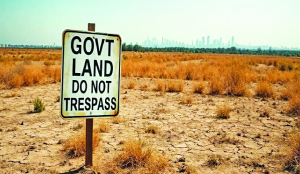
At the root of the problem is the mismatch between recorded land status and ground reality. In many parts of the country, land classification still depends on revenue records prepared decades ago. Land once recorded as agricultural may now host peri-urban settlements; transport corridors often spawn commercial activity; and previously marginal land may have acquired significant economic value. Yet official records frequently remain frozen in time.
When acquisition proceedings begin, compensation calculations are pegged to these outdated classifications and associated circle rates. The result is a persistent mismatch between recorded land status and actual economic value. This gap lies at the heart of many disputes, fuelling litigation, delays, and mistrust.
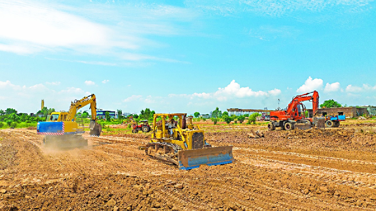
A similar disconnect is visible in the planning of infrastructure alignments. Linear projects, viz., highways, railways, and transmission corridors, require careful route selection to minimise both cost and displacement. Ideally, alignments should follow the most efficient path while avoiding dense settlements. In practice, however, routes often pass through habitations or take circuitous paths, increasing both acquisition costs and social disruption.
This challenge becomes sharper when viewed through the distinction between brownfield and greenfield projects. Brownfield projects, such as highway widening, require relatively limited additional acquisition. Greenfield projects require large-scale acquisition and often traverse previously undisturbed areas. Recent policy has increasingly favoured greenfield alignments to improve logistics efficiency. However, these projects also amplify the risks of misaligned routes, avoidable displacement, and speculative land transactions.
Even where detailed guidelines exist, the underlying approach to alignment planning remains constrained. The 2018 framework issued by the National Highways Authority of India, while exhaustive on procedural aspects, continues to rely heavily on Detailed Project Reports (DPRs) prepared by consultants and subsequently certified by administrative authorities. Although the guidelines refer to technologies such as LiDAR and drone surveys, they remain largely silent on the systematic use of Satellite Image Time Series (SITS), AI-driven analytics, GIS-based optimisation, and other advanced geospatial techniques.
The consequences of these gaps are visible on the ground. For example, even in and around Patna, three major corridors illustrate the limitations of conventional DPR-driven planning. The Patna-Bakhtiarpur stretch displays a distinctly serpentine alignment. The Patna-Koelwar road has witnessed multiple alignment revisions. The Patna-Gaya alignment cuts through a fully inhabited village in Jehanabad. These are not isolated anomalies but are symptomatic of a deeper reliance on static surveys and discretionary planning.
Modern geospatial technologies offer a way out. High-resolution satellite imagery and AI-based terrain and compensation-rate modelling can now allow planners to map land use and infrastructure corridors with far greater accuracy. More importantly, tools such as Satellite Image Time Series can capture how land use evolves over time, helping planners analyse land-use history, anticipate settlement expansion, and avoid future conflict zones.
When integrated with GIS platforms, these technologies enable decision-makers to compare multiple alignment alternatives objectively, using measurable criteria such as distance, terrain, settlement density, and environmental impact. Transparent documentation of such analysis can reduce mistrust and improve public acceptance, which is critical for smoother land acquisition.
Geospatial tools can also improve land-use documentation. Instead of relying solely on outdated revenue records, authorities can use current imagery to establish the condition of land at the time of acquisition. This provides a more credible basis for compensation and reduces disputes over classification.
The potential of technology extends further to land valuation itself. Several states have attempted to rationalise compensation through updated circle rates and digitised transaction data. However, these efforts remain uneven and often lag behind market realities. AI- and GIS-based models could generate first-cut valuation benchmarks by analysing transaction data, proximity to infrastructure, and land-use patterns.
Yet better data alone cannot resolve deeper institutional issues. India’s land acquisition framework continues to operate through multiple statutes with differing procedures and safeguards. The enactment of the Right to Fair Compensation and Transparency in Land Acquisition, Rehabilitation and Resettlement Act, 2013 was intended to address the deficiencies of the colonial-era Land Acquisition Act, 1894. It introduced social impact assessments, enhanced compensation, and rehabilitation provisions.
Judicial interpretation has further clarified this framework. In Indore Development Authority v. Manoharlal (2020), the Supreme Court resolved uncertainty around the lapsing of acquisition proceedings, holding that lapse occurs only when both possession has not been taken and compensation has not been paid. In Vidya Devi v. State of Himachal Pradesh (2020), the Court reaffirmed that property cannot be taken without due process and compensation, grounding land acquisition firmly in constitutional principles.
Despite these clarifications, a structural inconsistency persists. Major infrastructure sectors continue to rely on older statutes such as the National Highways Act, 1956, and the Railways Act, 1989, which do not fully incorporate these safeguards. The result is a fragmented system in which landowners face different procedures and protections depending on the statute invoked. A coherent system of land governance therefore requires alignment at both levels: data and law.
India’s development trajectory will inevitably require large-scale land acquisition in the coming decades. The legitimacy of this process depends not merely on speed but on fairness, transparency, and institutional credibility.
The next stage of reform must integrate modern geospatial capabilities with a harmonised legal framework. Only by reorienting how land is mapped with how land is acquired can India build a system that is transparent, consistent, and fit for a rapidly transforming economy. It is no longer a technocratic aspiration; it is, veritably, an economic and democratic imperative.
The writer is an ex-IAS officer and is presently Chairman, RERA Bihar. He served as Principal Secretary, Department of Revenue and Land Reforms, Bihar ; views are personal