Nepal Objects to Kailash Mansarovar Yatra Route
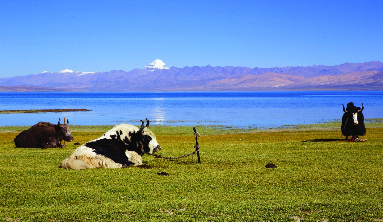
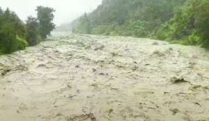
Nepal has formally objected to the proposed route for the Kailash Mansarovar Yatra through the Lipulekh Pass, stating that the area falls within its sovereign territory. The objection comes amid recent developments involving India and China over the pilgrimage route. Lipulekh Pass is a major pilgrimage route for the Kailash Mansarovar Yatra.
In a statement issued in response to media queries, Nepal's Ministry of Foreign Affairs said it had taken note of reports the pilgrimage, expected to be conducted via Lipulekh Pass involving India and China.
The reaction follows a recent announcement by China that it will facilitate the pilgrimage for Indian devotees in 2026 in coordination with India, including travel through the Lipulekh Pass.
The ministry reiterated Nepal's long-standing position on the territorial status of the region.
Citing the Sugauli Treaty, Nepal emphasised that all areas east of the Mahakali River -- including Limpiyadhura, Lipulekh, and Kalapani -- belong to Nepal. "Nepal remains clear and firm that, as per the 1816 Sugauli Treaty, areas east of the Mahakali River, including Limpiyadhura, Lipulekh, and Kalapani, belong to Nepal," the statement said.
In response to media queries regarding Nepal's claims, the official spokesperson of India's Ministry of External Affairs said that India's position in this regard had been consistent and clear. Lipulekh Pass has been a long-standing route for the Kailash Manasarovar Yatra since 1954 and the Yatra through this route has been going on for decades. This is not a new development.
As regards territorial claims, India has consistently maintained that such claims are neither justified nor based on historical facts and evidence. Such unilateral artificial enlargement of territorial claims is untenable.
The issue has once again highlighted ongoing territorial sensitivities in the tri-junction region, where Nepal, India, and China have overlapping strategic and geopolitical interests.
The Sugauli Treaty, signed in 1816 after the Anglo-Nepalese War, defined the Kali River (Mahakali) as Nepal's western boundary. However, the treaty left unresolved a critical question: the river's true source.
Kathmandu has consistently maintained -- particularly since the 1990s -- that the river originates at Limpiyadhura. Based on this interpretation, all land east of that point, including Kalapani and Lipulekh, falls within Nepali territory.
These areas together form a strategically significant stretch of the western Himalayas at the tri-junction of Nepal, India, and Tibet.
India, however, disputes this claim. New Delhi argues that the Kali River originates further east, near the Lipukhola tributary -- an interpretation that places Kalapani and Lipulekh within Indian territory. Following the Sino-Indian War, Indian forces established a presence in the Kalapani valley to monitor the Chinese frontier.
Over time, the region shifted from being contested to being effectively administered by India, even as Nepal maintained its claim with relative restraint.