Rain, hail hit parts of Delhi-NCR
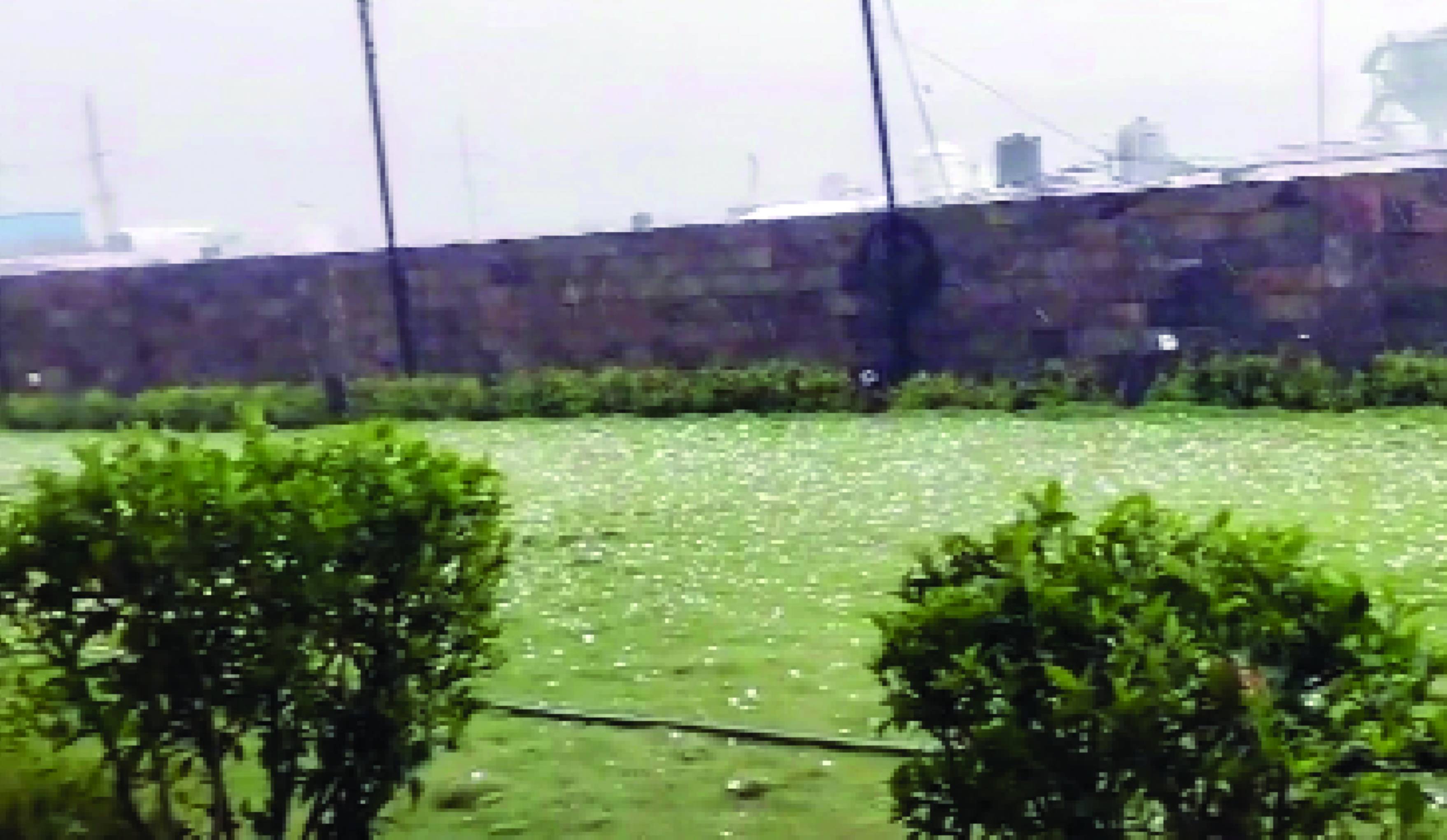
Parts of Delhi-NCR on Thursday witnessed rain, gusty winds and hail, dragging temperatures down by 8-15 degrees Celsius, as April signed off on a pleasant note after days of sweltering heat pushed the mercury above the 40-degree Celsius mark.
Dark clouds enveloped large parts of the city as an orange alert by the IMD remained in place during the evening hours.
According to the weather office, the capital recorded its wettest April in 18 years, with pre-monsoon showers lashing parts of Delhi in the first half of the month. According to official data, Delhi received 27.9 mm of rainfall in April, compared to 38.6 mm recorded in April 2008.
At Palam, the temperature dropped from 39 degrees to 28 degrees Celsius after a thunderstorm, with the maximum wind speed reaching 48 km/h, data from the India Meteorological Department (IMD) showed.
Safdarjung saw the temperature drop from 40 degrees to 30 degrees Celsius, with the wind speed touching 36 kmph. Similarly, Jafarpur recorded a fall from 37.7 degrees to 29.6 degrees Celsius, accompanied by winds up to 41 km/h.
At Naraina, the temperature dipped from 37.6 degrees to 25.8 degrees Celsius, while Janakpuri saw a departure from 36.8 degrees to 26.9 degrees Celsius, the data showed.
At Pragati Maidan, the temperature dropped by 10.8 degrees from 35.7 degrees to 24.9 degrees Celsius, with the wind speed touching 41 kmph.
Najafgarh saw a temperature drop from 37.8 degrees to 28.7 degrees Celsius, while in Pitampura, it dipped to 28.7 degrees from 37.3 degrees Celsius.
Lodhi Road reported a drop from 37.8 degrees to 26.8 degrees Celsius, with a wind speed of up to 43 km/h, IMD data showed.
“Delhi-NCR witnessed an intense spell of rain leading to waterlogging in parts of outernorth Delhi and Noida in the late afternoon before the system moved towards Muzaffarnagar, Bulandshahr, Hathras, Agra and Aligarh in Uttar Pradesh,” Mahesh Palawat from private weather forecaster Skymet said.
The weather activity was driven by a cyclonic circulation over Haryana and its adjoining areas, he said.
During the pre-monsoon season, rising temperatures combined with moisture lead to the rapid formation of towering clouds, triggering gusty winds, thunderstorms and spells of intense rainfall, Palawat said.
He added that the activity is likely to subside on May 1 and 2 across north India, but a fresh western disturbance is expected to reach the Himalayan region by the night of May 2, leading to another cyclonic circulation over Punjab, Haryana and north Rajasthan. Its impact may bring similar weather conditions, including strong winds, across north-west India, including Delhi and Uttar Pradesh, on May 3 and 4, he said.
“Such pre-monsoon episodes are expected to continue through the first week of May, offering intermittent relief from heat, though heatwave conditions may return later in the month,” Palawat said.
Before the afternoon showers, temperatures across the key stations in Delhi remained high, with base station Safdarjung recording 39.9 degrees Celsius, Palam 39.5 degrees, Lodi Road 38.8 degrees, The Ridge 39 degrees, and Ayanagar 39.4 degrees Celsius, IMD data showed.