NCR witnesses sudden weather turn
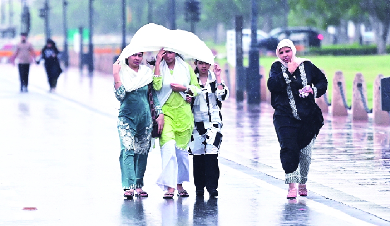
Cloudy skies and spells of rain greeted Delhi residents on Tuesday as the National Capital Region (NCR) witnessed a sudden weather shift that afternoon — dark clouds covering the skyline, followed by strong winds that brought down visibility and created near-evening conditions during the day.
The India Meteorological Department has issued a yellow alert, indicating “be updated”, with a generally cloudy sky and intermittent very light to light rain accompanied by thunderstorms, lightning and strong surface winds of 20-30 km/h, gusting up to 40 km/h during the evening and night.
The India Meteorological Department also shared an update on X, warning that under the influence of two active western disturbances, a wet spell is set to continue across northwest India this week, with peak activity expected on April 3 and 4. The abrupt weather change follows several days of fluctuating conditions across Delhi and neighbouring states, where intermittent showers have kept temperatures relatively pleasant despite brief spells of heat.
The main cause of these changing weather conditions is an active western disturbance, which is an extratropical weather phenomenon originating over the Mediterranean and moving eastward towards India.
Rainfall recorded between 2.30 pm and 5.30 pm stood at 2.1 mm at Safdarjung, 2.6 mm at Palam, 2.8 mm at Lodi Road, 2.4 mm at Ridge and 2.2 mm at Ayanagar.
Among other stations, Janakpuri recorded the highest rainfall at 4 mm, while Pusa and Mayur Vihar received 2 mm each and Pitampura recorded 1.5 mm.
Maximum temperatures across stations remained in a similar range above normal, with Safdarjung recording 33.7 degrees Celsius, Palam 33.2 degrees, Lodi Road 33.2 degrees, Ridge 33.9 degrees and Ayanagar 33.8 degrees.