Himalayan disaster plan reviewed after Nepal floods
With the unprecedented floods in Nepal sounding a warning for India, Union Home Secretary Govind Mohan on Thursday reviewed the preparedness of the Himalayan States and Union Territories against the risks posed by Glacial Lake Outburst Floods (GLOFs) and snow avalanches. During the meeting, he took stock of early warning systems, monitoring of vulnerable glacial lakes and snow-covered areas, identification of high-risk locations and flow paths, timely dissemination of alerts, evacuation preparedness, and strengthening of response mechanisms.
The message from a high-level review chaired by the Home Secretary was blunt: scientific warnings must no longer sit in files. Institutions that monitor glaciers, lakes and slopes already generate data. The gap, officials said, is the speed with which those alerts reach district administrations, hydropower operators, road agencies and communities living downstream.
Gaps in early-warning networks and evacuation routes must be identified. Officials said gaps in early-warning systems and evacuation routes need to be found now, not after another disaster. Fixes should not be delayed until the next monsoon or winter.
The Centre issued a clear order to Himachal Pradesh, Uttarakhand, Sikkim, and Arunachal Pradesh, which are part of the National Glacial Lake Outburst Flood Risk Mitigation Programme approved in 2024, to speed up the project. 2023 South Lhonak disaster in Sikkim, when a massive rock collapse into a glacial lake generated a displacement wave that tore down the Teesta valley, destroying a major hydropower dam and settlements. Two years later, officials say progress on monitoring stations, lake-lowering works, downstream warning systems and community training has been uneven.
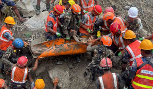
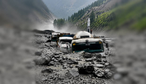
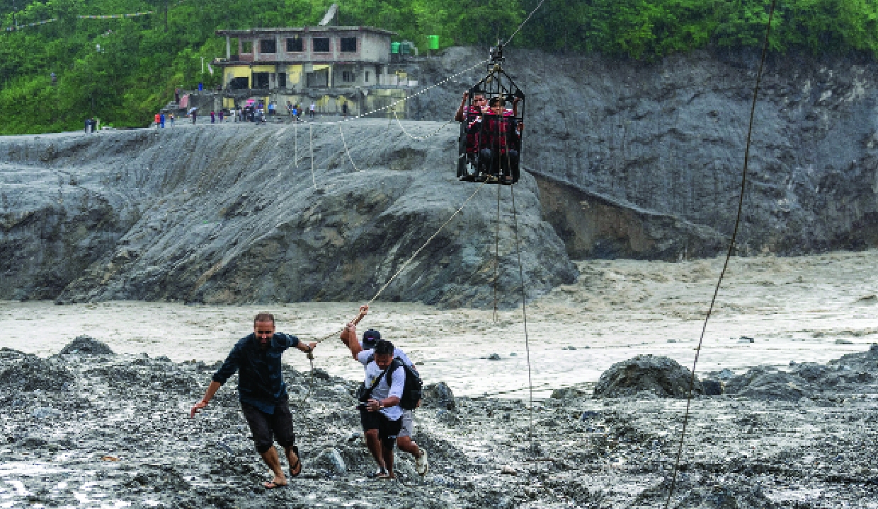
The floods in Nepal on August 26 highlighted the dangers in the region. When a glacier collapsed near the border, it sent water rushing down the Bhote Koshi and Trishuli rivers. The flood destroyed bridges, roads, hydropower tunnels, and entire hillsides. Rescue teams are still looking for bodies, and thousands of people remain missing. Rivers flowing into Bihar and Uttar Pradesh rose rapidly, putting Indian border districts on alert. By the time the flood reached the plains, its worst effects had faded. However, the same geological risks, warming trends, and downstream dangers exist on the Indian side too.
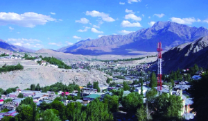
There are about 7,500 glacial lakes in India’s Himalayan region. National agencies have marked nearly 200 as high-risk. The most dangerous lakes are in Himachal Pradesh, Sikkim, Ladakh, Arunachal Pradesh, Jammu and Kashmir, and Uttarakhand.
Many of these lakes are above hydropower projects, highways, Army and ITBP posts, and crowded valleys. If a lake breaks, the flood can travel for tens of kilometres within minutes. Sometimes, there are only hours or even less to warn people.
The ministry’s meeting stressed the need for last-mile connectivity. Tools like satellite data, automated weather and water stations, pressure probes, and local profiling equipment are already in use or being set up. But officials admitted the real challenge is turning these signals into timely evacuations and road closures. States were told to map every settlement and important facility that could be affected if a lake bursts, mark high-flood lines, and practice evacuations before the next monsoon. Better coordination between agencies was also highlighted.
According to the Ministry of Home Affairs (MHA), many agencies are involved, including the NDMA, the Central Water Commission, the Geological Survey of India, ISRO, the Defence Geo-informatics Research Establishment, state disaster authorities, the Army, and the Indo-Tibetan Border Police. They were told to share risk information in real time, not after a disaster starts. The Centre wants a change that is not just technical, but also cultural.
In the past, Himalayan disaster management was measured by how fast National Disaster Response Force (NDRF) teams responded after floods or landslides. Now, the goal is to need those teams less often. This involves lowering water levels in unstable lakes when possible, installing sensors that alert district control rooms, training local volunteers familiar with the area, and seeing every new hydropower or road project as a possible risk, not just a separate asset.
Climate change is causing glaciers to shrink and lakes to fill faster than before. Thawing permafrost is also making slopes less stable. These factors create a chain of hazards: An ice or rock collapse can turn into a debris flow, form a temporary dam, and then cause a flash flood. Nepal showed how little warning there can be before such disasters. The MHA made it clear that India cannot wait for a similar event to happen.