Delhi to get Bhu-Aadhaar for every land parcel
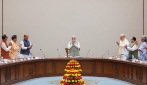
In a move to bring transparency and end dubious land ownership, the Delhi Government, led by Rekha Gupta, has started work on assigning an ‘Aadhaar’, often referred to as ‘Bhu-Aadhaar’ number to every parcel of land in the Capital.
Under this initiative, each land parcel will be assigned a 14-digit Unique Land Parcel Identification Number (ULPIN). The responsibility for implementation has been entrusted to the IT Branch of the Revenue Department, which will also receive support from the Survey of India. For citizens, the move is expected bring ease and convenience. Instead of navigating multiple documents to establish land ownership, a single number will provide comprehensive details of the property.
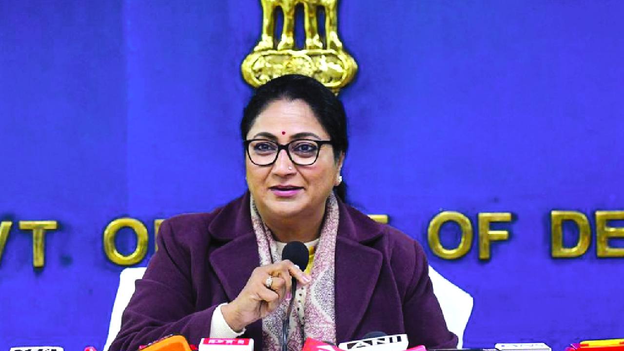
According to Chief Minister Rekha Gupta, a pilot project has already been completed in Tilangpur Kotla village in West Delhi district, where 274 ULPIN records have been successfully generated. She noted that often, poor and middle-class families invest their lifetime savings in purchasing land, only to become entangled in legal disputes due to unclear records.
The new system will ensure complete transparency in land ownership. The 14-digit code will be georeferenced, thereby minimising disputes over land boundaries. It will function as an ‘Aadhaar for land’, ensuring a complete digital account of every inch of land. The Chief Minister said the system will facilitate coordination of land data among various Government departments and effectively curb fraudulent transactions and multiple registrations. “Approximately 2 terabytes of high-quality geospatial data and drone-based Ortho Rectified Images (ORI) are being obtained from the Survey of India. Through this data, accurate ULPINs will be generated for all areas of Delhi, including 48 villages already covered under the SVAMITVA scheme,” she said.
The CM described the system as highly beneficial, stating that it is not merely a number but a powerful digital instrument against corruption and land disputes.
She elaborated that the need to implement this system in Delhi had long been felt. The scheme originates with the Government of India’s Ministry of Rural Development and the Department of Land Resources, and is particularly significant for the national Capital.
According to the Chief Minister, although the Central Government introduced the scheme in 2016, it could not be implemented in Delhi as envisaged due to various reasons. It is now being taken up in mission mode. She further emphasised that the initiative represents a decisive step towards realising Prime Minister Narendra Modi’s vision of ‘Digital India’ on the ground. The system is also referred to as ‘Bhu Aadhaar’.
For citizens, the greatest benefit will be ease and convenience. Instead of navigating multiple documents to establish land ownership, a single number will provide comprehensive details of the property. Earlier, ?13.207 million had been allocated for the project, with financial management overseen by the IT Branch. The Government will now expand the system across Delhi in a phased manner under a Standard Operating Procedure (SOP) with defined timelines.
Describing the initiative as immensely beneficial for Delhi, the Chief Minister reiterated that the ULPIN system is a major step towards implementing the Digital India vision of Prime Minister Narendra Modi on the ground. She stated that the Prime Minister’s vision is to ensure that the benefits of technology reach the last person in society in a transparent manner, and Bhu Aadhaar is a significant stride in that direction. According to her, the Prime Minister has consistently emphasised that integrated and modern land records form the foundation of a developed India, ensuring security of property for citizens and striking directly at corruption.
The Delhi Government has recently notified the Delhi Abadi Deh Survey and Record Operations Rules, 2025, setting in motion a long-awaited, technology-driven overhaul of land records in the Capital’s rural areas and paving the way for issuance of property cards to residents of Abadi Deh (inhabited) land. Under the rules, Abadi Deh areas — traditionally excluded from formal revenue records — will be surveyed using modern GIS and drone technology, followed by mandatory “ground truthing” to verify boundaries, structures and land use. Each plot will be mapped, numbered and recorded through a multi-stage verification process before finalisation of records.
KEY POINTS
- Under this, each land parcel will be assigned a 14-digit ULPIN.
- For citizens, the move is expected bring ease and convenience.
- A single number will provide comprehensive details of the property.
- The responsibility for implementation has been entrusted to the IT Branch of the Revenue Department.