NASA Satellite images reveal nearly 58,000 buildings damaged in Venezuela earthquakes
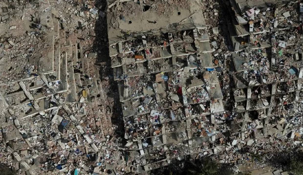
Fresh satellite imagery released by NASA has revealed the staggering scale of destruction caused by the twin earthquakes that struck Venezuela, with an estimated 58,870 buildings likely damaged or destroyed across the affected regions. The assessment was generated using radar data from the Sentinel-1 satellite as rescue teams continue searching for survivors.
The powerful earthquakes, measuring 7.2 and 7.5 in magnitude, struck within seconds of each other on June 24, devastating parts of the coastal state of La Guaira and nearby areas. Entire neighbourhoods have been reduced to rubble, with residential buildings, roads and public infrastructure suffering extensive damage.
NASA's experimental damage assessment uses satellite radar imagery to detect structural changes before and after disasters. According to the latest analysis, nearly 58,870 structures are believed to have sustained damage, providing emergency responders with crucial information to prioritise rescue and relief operations.
The death toll from the disaster has continued to climb, with more than 1,700 people reported dead and thousands injured. Tens of thousands remain displaced, while international rescue teams from multiple countries are assisting Venezuelan authorities in searching collapsed buildings for survivors.
Authorities have warned that the number of damaged structures could rise further as assessments continue. The satellite imagery is expected to play a key role in planning relief efforts, evaluating infrastructure damage and identifying areas requiring urgent humanitarian assistance.