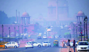
Light rain, gusty winds cool down Delhi-NCR
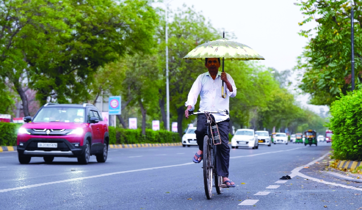
The weather across Delhi-NCR has swung dramatically this March, catching residents and forecasters off guard. After days of unusually high temperatures that made mid-March feel like the peak of summer, many areas of the Delhi-NCR witnessed light rainfall on Sunday morning, bringing a much-needed respite from the prevailing dry conditions.
The India Meteorological Department stated that 8 mm of rainfall was recorded till 8.30 am. According to the IMD data, Safdarjung and Lodhi Road recorded 0.8 mm rainfall each, while Palam received 0.4 mm. Ayanagar recorded 2.6 mm rainfall and Pitampura 3.5 mm, the highest among the stations.
Additionally, Mayur Vihar recorded 1.0 mm rainfall and Janakpuri 0.5 mm, while Ridge reported only a trace of rainfall. The maximum temperature was recorded at 30.1 degrees Celsius, 1.2 notches above the seasonal average, whereas the minimum temperature was recorded at 18.7 degrees Celsius, which was 3.6 notches above the seasonal average.
This abrupt shift isn’t simply a seasonal quirk. Instead, it reflects a complex interaction between intense heat building over the plains and fresh moisture entering the atmosphere, an interaction that could affect public health, farming, and everyday routines.
The key trigger behind the latest alert is the arrival of a fresh western disturbance. These weather systems originate over the Mediterranean region and travel eastward, typically bringing winter and spring rainfall to parts of the Indian subcontinent. Under normal conditions, they provide moderate rain and cooler weather. However, when a western disturbance interacts with land already heated to unusually high levels, the outcome can be far more dramatic.
“Due to a western disturbance approaching the western Himalayas, cyclonic activity has developed over central Pakistan, adjoining Punjab and Haryana. As a result, parts of Delhi witnessed rainfall,” Mahesh Palawat, vice president of meteorology and climate change at Skymet Weather, said. He said the rain is expected the next day as well, and it is the season’s first pre-monsoon rain, which has arrived about 10 days earlier than usual.
The advance has been triggered by the western disturbance combined with the higher temperature the city has been experiencing over the past few days, he added.