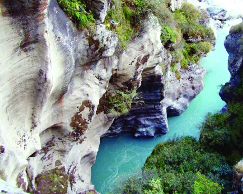
The Saraswati might have been a myth for some but satellite imagery clearly shows that such a river system did exist in line with present-day Ghaggar and had a very wide basin right up to the Rann of Kutch. It was linked to the Sutlej
River valleys over the centuries have cradled and nurtured some famous civilisations. For obvious reasons, this pattern has continued and even today most of the large cities continue to flourish on the river banks. Excavations and discoveries undertaken by Sir Mortimor Wheeler during the earlier decades of the last century unravelled the secrets of the Indus Valley civilisation hitherto lying buried under centuries of history.
We may have known about the Indus Valley civilisation much earlier had the original discoveries by Charles Mason, a noted archaeologist in the 1820s, been given more serious consideration. It may come as a surprise but some of the Harappan sites around the Indus are known to have been pillaged by contractors for brick ballast to build a portion of the Lahore railway in the later half of the nineteenth century.
Archaeological evidence shows that Indus was highly prone to floods and frequent changes of course. As the sister river to the Indus, the Mihran also carried large volumes of water along a course parallel and eastwards of Indus. But over the millennia, the Mihran has ceased to exist, so also the towns on its banks. In later studies, the Mihran came to be identified with Hakra as well as the Saraswati (also extinct).
Recent (May 2019) excavations reported from Ganweriwala indicate the town to have been located on the banks of old river Hakra, often cited as the mythical Saraswati. There has been a renewed interest in the recent years in river Saraswati, as the department of culture has initiated a project for research on satellite imagery to ascertain and chart out the entire route of this ancient river. It would be in the general area of the present states of Haryana and Rajasthan that evidence would be attempted to be collected to ascertain whether the civilisation around the Saraswati was an extension of the Indus valley or vice versa.
The mythical Saraswati River, which is now extinct, has found wide mention in the Puranas and ancient Indian history. The Skanda Purana mentions that the Kanyakubja Mahadesh of Bhoja, comprising 36 lakh villages, extended up to Kurukshetra and Saraswati. In the Rigveda, a river course has been mentioned, which now corresponds to the Saraswati and Ghaggar. The Saraswati has been mentioned as a mighty river from the pre-Vedic times. By the time the Manusmriti and the Mahabharata came to be written, it had already developed its present character. Manu calls the place where it disappears as Vinasana. The Mahabharata states that after disappearing, the river reappeared at three places. It disappears in sands near the village of Chalaur and reappears at Bhavanipur. At Ballchapart, it again disappears, only to appear again at Barakhera. At Urnai, near Pehova, (ancient Prithudaka), it is joined by the Markanda stream. At Sirsa (ancient Sairishka), it is joined by Drishavadi or Chitang.
The area between the Saraswati and Drishadvati is known to be the sacred land of Brahmavarta, the home of the Vedic rishis. After disappearing, the dry bed reappears south of Rohri and runs parallel to the Indus into the Arabian Sea, which is analogous to the ancient Mihran Hakra System. The other cities of the Saraswati era were Kapishthala (Kaithal), Sonaprastha or Sonepat and Paniyaprastha or Panipat.
Reports of the appearance of sweet water in certain dry areas of Kutch after the earthquake also led to a revival of interest in the archaeology of the Indus Valley and the impact of tectonic movements on the river systems. It is widely believed that the Saraswati river system may have become dry on account of one such upheaval. There is sufficient data to show that the original course of the Sutlej was to follow a southward flow from Ropar (Punjab) towards the Ghaggar, the two coming together near Shatrana in Sangrur district and then flowing towards Kutch. The sharp bend and a directional change at Ropar, which is extremely unusual considering the flat terrain, may appear to have been possible on account of a tectonic uplift. This may have led to the ultimate drying up of the Ghaggar-Saraswati system as Sutlej was the only perennial source of water in the area, which may have changed course due to an earthquake.
That the Sutlej was earlier joined to the Ghaggar-Saraswati system is also borne out from a legend in the Mahabharata, where it is mentioned that Vashistha threw himself into the Sutlej to commit suicide. The Saraswati might have been a myth for some but satellite imagery clearly shows that such a river system did exist in line with the present day Ghaggar, and had a very wide basin right up to the Rann of Kutch.
Another interesting feature of the ancient history of this area is the speculation on the possible linkage between the Harappan civilisation and the Gangetic plain. Is it that the river Saraswati could provide the missing link? Only forthcoming research would be able to decipher this centuries-old secret whether Saraswati was originally joined by Sutlej or by river Yamuna, both these rivers having changed course centuries ago.
(The writer is a former Commissioner of Police, Delhi)


