The NE borders need eyes in the sky
The Northeast’s borders cannot always be secured with fences. Shifting rivers, porous terrain and difficult frontiers demand something more agile: space-based surveillance that can turn satellite data into timely, actionable and legally usable intelligence. Assam’s experience shows why the next frontier of border security is not more fencing, but faster information
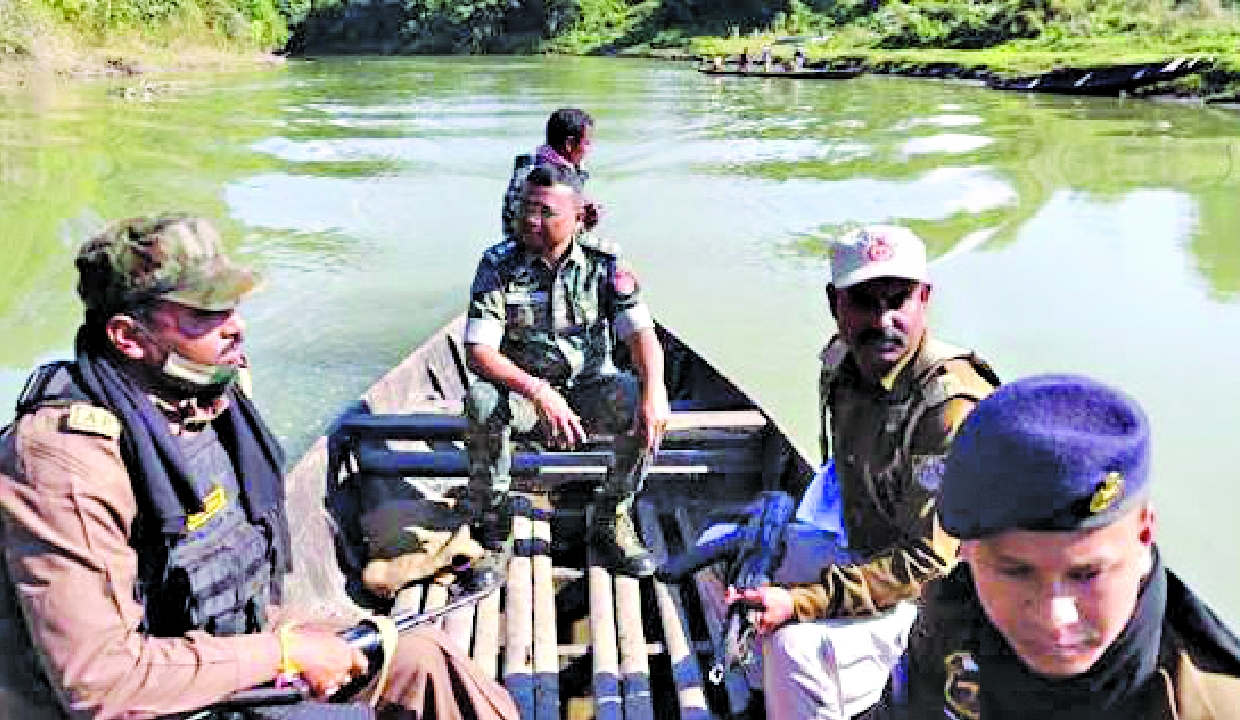
In a riverine char (sandbar) of the Dhubri sector, perhaps 400 families might live in one season, but by the next season, it could be completely obliterated. The Brahmaputra creates and destroys land at its own will. When the char disappears, the families move away, and with them, the border too changes. This is the actual functional reality of approximately 61 kilometres of Assam’s border with Bangladesh, where electronic surveillance has to be adopted instead of fencing, because there is no hard soil there to erect a fence. You cannot put a fence in water. You can only monitor it.
I was reminded of this while chairing a recent discussion organised by SIA-India in Guwahati on ‘Space Technology for National Security and Border Protection’. This panel included a former Army Commander of the Eastern Theatre, a senior telecom administrator and scientist, a national security expert, and representatives of two new Indian satellite-manufacturing enterprises — institutions that did not exist a decade ago.
Assam has approximately 263 kilometres of border with Bangladesh, a large portion of which is riverine. To our east, we have a 1,643-kilometre border with Myanmar, where governmental authority has largely collapsed, and the resulting drug economy fuels insurgency. To our north, we have a neighbouring country that refuses to recognise Arunachal Pradesh as Indian and has established 628 border villages near the Line of Actual Control (LAC), the majority of which are located opposite Arunachal. And this country plans to construct a dam on a river upon which 70 million Indian people depend.
Three borders, three distinct problems. Our difficulty is not a lack of military strength. Our primary problem is ‘latency’ — that is, the time gap between an event occurring on the ground and the right person becoming aware of it. This is where aerospace or space technology becomes necessary.
What would remain if space-based communications, navigation and imaging technologies were disrupted for 72 hours in the Eastern Theatre? If the adversary is using state-of-the-art satellite systems and we revert to older methods in an eventuality, the enemy won’t even need to defeat us; rather, we ourselves would be handing them the initiative.
Satellite-derived information today is neither intelligence nor evidence for a police officer. In the sense an operational officer understands it, it is not intelligence, because intelligence must arrive in a timely manner and have someone accountable for it. What is received at the district level is, in most cases, merely briefing material. It is not verifiably guaranteed information — the failures of which we discuss the least. Before a Foreigners Tribunal or a Magistrate, the question is never how striking the image is; the question is its provenance and whether the chain of custody holds up during cross-examination. We built extraordinary capabilities, but we forgot to make them admissible in court.
What can change this is not more hardware or more sensitive sensors. For this, four unglamorous but indispensable requirements must be met:
Standing Authority: A Superintendent of Police (SP) in Dhubri or Karimganj should have standing authority to monitor a specific riverine area.
Analysis Cells: An interpretation cell at the range level, because it is unfair to hand a satellite image to a district-level officer and expect accurate analysis from them.
Legal Procedures: Procedures for evidence preservation and custody, granting formal legal status to specialised satellite imagery.
Dedicated Budgets: A dedicated financial head in the state budget for this purpose.
‘Self-reliance’ - Atmanirbharata in the space sector is often being talked about, dwelling on many geo-strategic ramifications. Presently, the focus of discussions on this is limited merely to manufacturing capabilities. We do not need to manufacture everything. We must reach a stage where no one can block or veto us.
The path ahead for the Northeast
The encouraging truth is that the framework for this is largely ready. The anti-satellite (A-SAT) demonstration of March 2019 placed India in the group of 4 prominent nations of the world. That same year, the Defence Space Agency was established, and last September, the nation released its first Joint Military Space Doctrine, treating space as an independent operational domain. The Indian Space Policy of 2023 and IN-SPACe opened this sector to private-sector capabilities, and 52 satellite surveillance programmes are currently underway. A decade ago, none of this was clear. But for reaching the ‘last mile’, the robust management of institutional rules and procedures is essential. Two mishaps this year make this clear:
In January, due to a launch failure, a DRDO Earth observation system was lost.
Two months after entering orbit, a historic Indian private satellite (the world’s first to combine radar and optical sensors) was destroyed due to a geomagnetic storm.
Self-reliance is not just the ability to build a satellite once; it is the ability to rapidly replace new satellites, coupled with indigenous launch speed, domestic hardware and procurement processes completed in 90 days instead of 90 weeks.
What should this region do?
The Northeastern states should issue a standing order by allocating budgets for all-weather radar coverage of rivers and flood-prone areas from Indian satellites. For this necessary platform for geo-stationary satellites/constellations must be put in place. Demand builds an industrial base, and at the state level, ‘self-reliance’ begins with a purchase order for satellite products.
Leverage Existing Infrastructure: Instead of building a new centre from scratch, work upon the existing mechanism. The North Eastern Space Applications Centre (NESAC), based in Umiam, is already serving these eight states; provide it with a border-and-disaster wing operated jointly by the state police, border security forces and disaster management teams.
Build a Geospatial Cadre: Develop our own analysts and commentators through a geospatial cadre trained in our own institutions, because sovereignty depends equally on people as it does on hardware. Enforce Sovereign Contracts: Incorporate sovereignty conditions into contracts; there should be no ‘shutter control’, no geographical restrictions, or any such conditions that give a foreign supplier the authority to dictate what and when we see.
The satellite surveillance system that exposes illegal infiltration or crossing can also reveal the condition of river embankments and the likelihood of breaches. The same imagery that serves border agencies in January can assist District Commissioners (DCs) in August. In a state where floods render more people homeless every year than any enemy attack could, this is not a minor facility to be mentioned in passing. The necessity of satellites in the Northeast should not only be proven in a ‘war room’; it should also be considered an integral part of wartime preparations to be undertaken during the monsoon season.
Assam has approximately 263 kilometres of border with Bangladesh, a large portion of which is riverine. To our east, we have a 1,643-kilometre border with Myanmar, where governmental authority has largely collapsed, and the resulting drug economy fuels insurgency
The writer is a former DGP of Assam; Views presented are personal.